CASE STUDY
CONNECTING DIVERSE NEIGHBORHOODS WITH TRAILS
CLIENT: Northwest Harris County Municipal Utility District No. 5
PROJECT: NWHCMUD 5 Trails Improvements, Cypress, TX
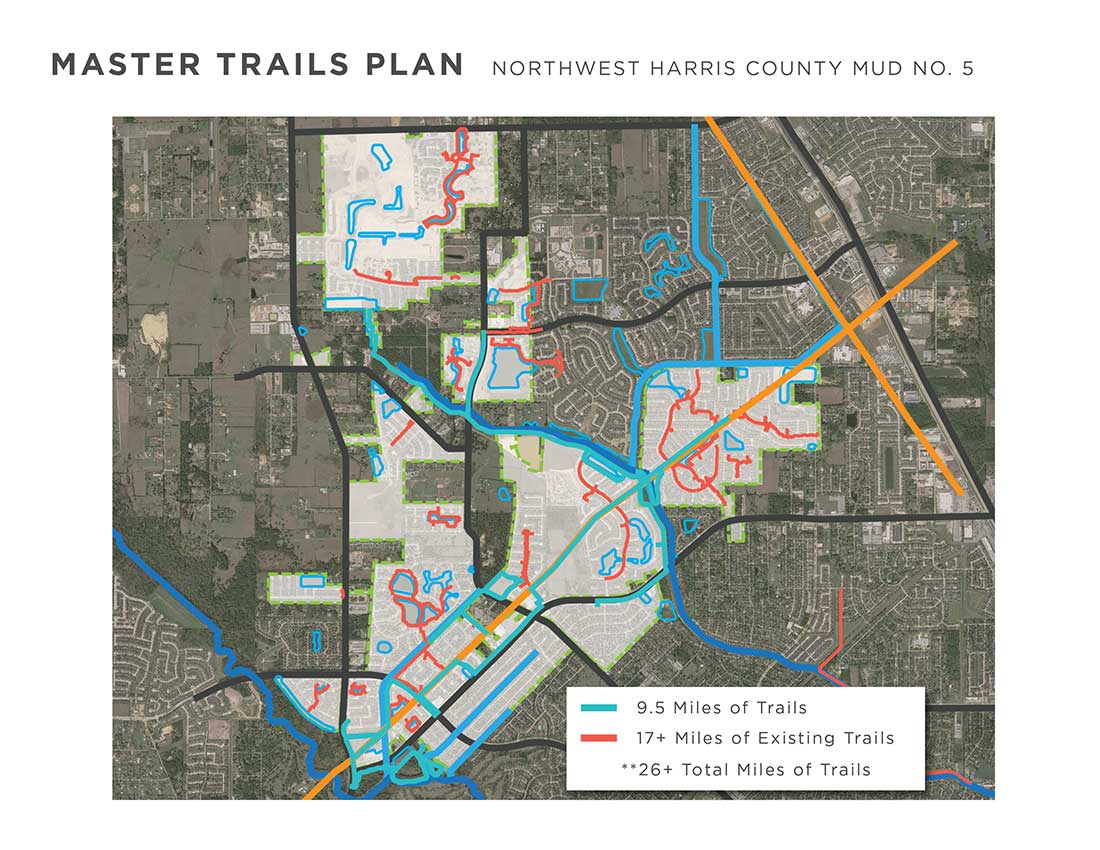
The NWHCMUD Trails Improvements project connects eighteen neighborhoods to local parks, shopping, and adjacent trails systems.
The Scene
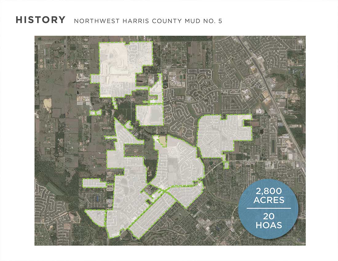
NWHCMUD #5 is a large, 2,700 acre, Special Purpose District in the northwest area of Houston. A mix of residential and commercial developments, the area has seen significant growth over the last 20 years. Many of the original communities, developed nearly 40 years ago, were designed with limited park facilities and lacked adequate sidewalks. Roadways and drainageways created barriers which discouraged a cohesive pedestrian network. In 2010 the City of Houston, along with its partners, began advocating for a widespread trail system which became known as the Bayou Greenways 2020 program. The anticipation and eventual success of this considerable effort spurred a growing desire to improve connectivity amongst neighborhoods throughout the region.
The Project
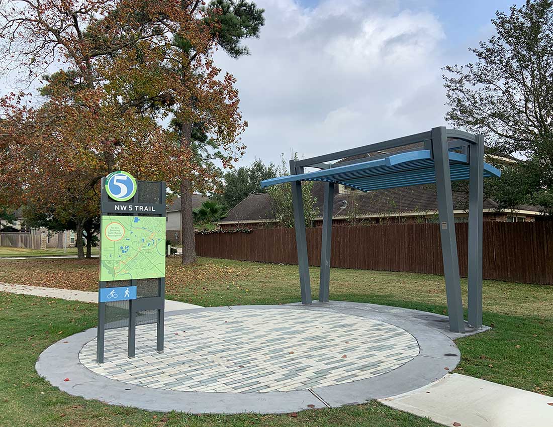
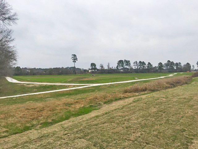
The trail system in Northwest Harris County MUD #5 provides over 5 miles of trails which connects 10 neighborhoods along public rights-of-ways and private utility easements from Telge Road, east to Faulkey Gully. The system includes loop trails around detention basins, linear trails along utility corridors and roadways, and connects older neighborhoods with limited sidewalks to existing trail systems within newer neighborhoods. Several nodes are located along the trail that include a shade trellis, seating, and signage. Special design elements were incorporated into the project including a logo and defined color palette that were repeated in the materials to create a unified identity for the project.
The process
Planning for the NWHCMUD 5 trail system began several years ago when the Board of Directors, at that time, worked with the District’s neighborhoods to develop a Parks Master Plan which catalogued existing local greenspaces, explored regional connectivity, and identified new park opportunities. The Master Plan was also used to secure an 8-million-dollar park bond through a district bond election. It wasn’t until several years later when new board members were elected who shared a passion for parks and greenspaces that the plan started to become reality. Clark Condon worked with board members to develop an initial trail alignment, which also analyzed the feasibility of alternative trail routes. Property ownership, access to multiple neighborhoods, connection to existing trail systems, and future maintenance costs were all considered before a final trail alignment was determined.
Over the next few years, Clark Condon, along with the District’s other consultants, worked together to develop what began as a little more than a line on a map to a fully constructed trail system. The District created a subcommittee consisting of a few board members focused on parks and trails development to oversee the project’s progress and act as liaisons to the overall board. This group was essential for strategizing early alignment options, securing easements, communicating information to the public, and working through challenges during construction.
Although several portions of the proposed trail alignment would be located within property already owned and maintained by the District, over 45 privately owned parcels required easement acquisition. The design team, led by the attorney for the District, attended homeowner association meetings, met with land owners, and negotiated recreational and access easements for the construction of the trail. An interlocal agreement was executed between Harris County Flood Control and the District to allow construction along drainageways and an encroachment agreement was secured with a pipeline company whose easement allowed trail connections between seven different neighborhoods.
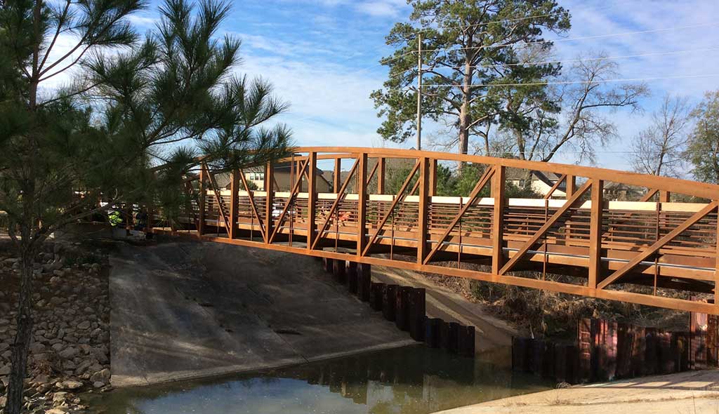
Early in the planning process, two major goals developed. The first was to connect as many of the 22 neighborhoods within the District as possible, and the second was to provide connections that limited conflicts with vehicular traffic. Large portions of the trail system were designed along drainageways and detention basins, as well as utilizing utility corridors. Major roadways, along with drainageways, within the District created challenges to pedestrian circulation. In order to facilitate safe access and increase connectivity, multiple strategies were utilized. Clark Condon and the design team worked with Harris County to approve multiple mid-block crossings throughout the trail system including ADA compliant ramps, signage, and striping. A 135’ undercrossing was excavated along Faulkey Gully to safely traverse Spring Cypress Road, which is a heavily traveled major thoroughfare. The design team also worked closely with the Harris County Flood Control District to incorporate three 8’ wide pedestrian bridges over various facilities along the trail route.
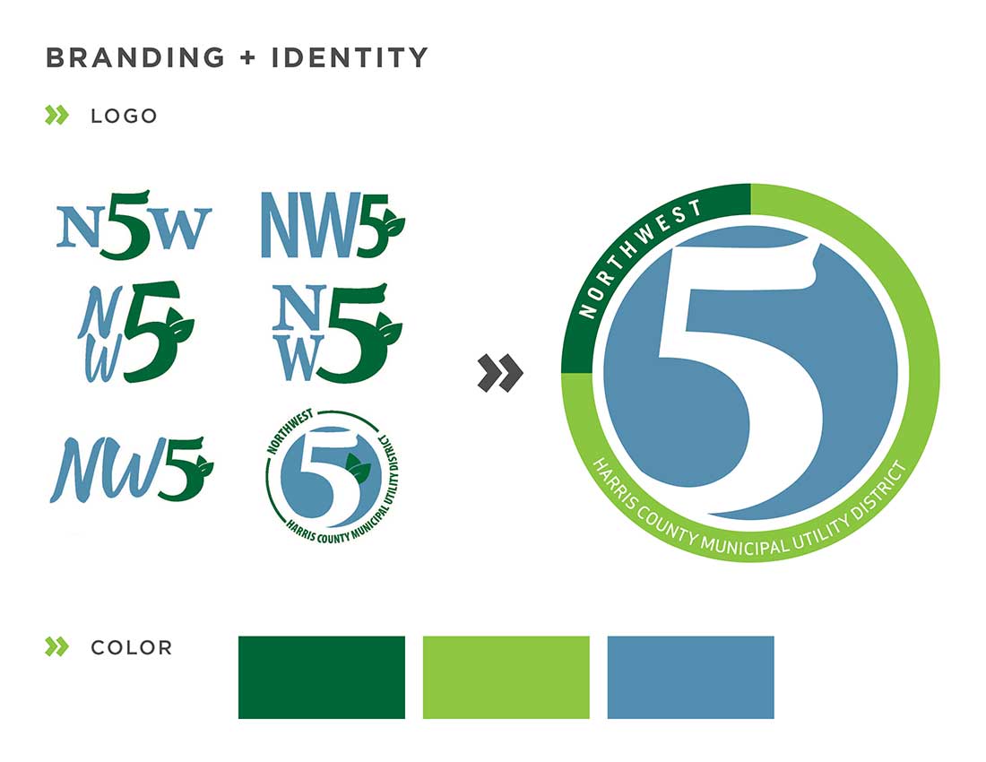
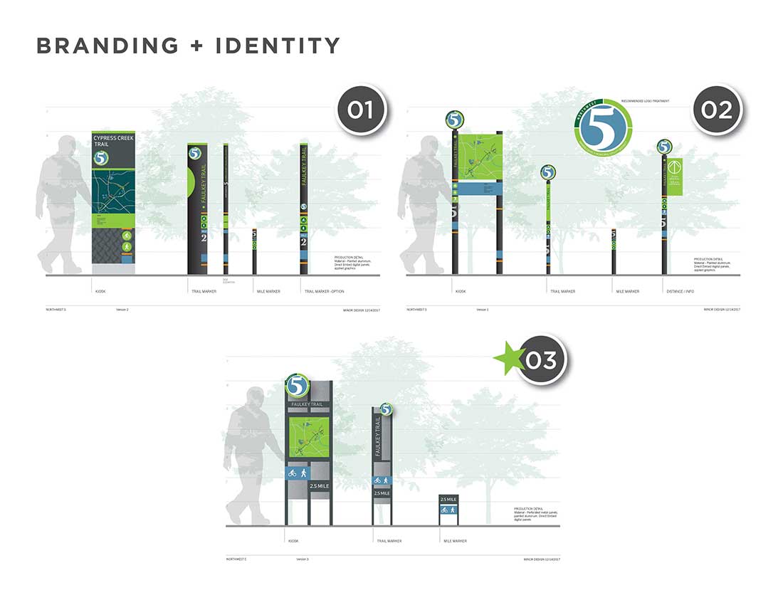
The five miles of trail wind through multiple neighborhoods, which presented a unique opportunity to develop district branding for the trail system. Clark Condon aided the client with creating a logo and color scheme that was utilized throughout design including signage, accents on retaining walls, unique bridge approaches, and seating nodes complete with decorative pavers, site furniture, and shade structures.
The result
The NWHCMUD 5 Trails System has set a precedent for trail connectivity within the northwest area of Harris County. With the recent construction of the Grand Parkway just to the north, development has been steadily increasing. Although portions of the trail were retrofits into older existing neighborhoods, this network was extended through new developments creating a regional system that will connect both north and south areas.

